
I can not necessarily come up with a good plan as far as plans go.
In the Walmart parking lot, Brian asks, "How far are we looking at going?"
"Dunno."
"Any idea how long we'll to be out there?"
"Dunno. I just thought that this would be a good route and there will be water halfway... mebbe two thirds of the way in and it should be fun'ish. But dunno."
"I get it. I'm just trying to plan for food and stuff."
"Bring a lot."
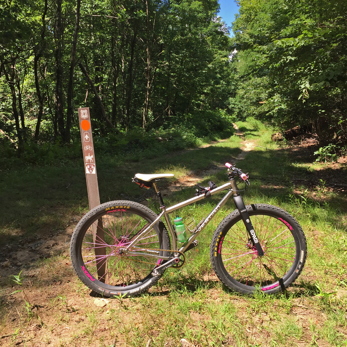
We ride out Estatoe to 276 to Avery Creek Rd to Clawhammer and go up and over Black Mountain.

Obviously someone had already lost a hand.
My reasoning for going down full Black was that it's pretty much the worst thing you can do in Pisgah on a rigid frok. I'm getting ready for six days of rigid Breck Epic, and nothing out there can compare to Black and its utter brutality. That and the hike-a-bike to the top would give me better feels about my new Pearl Izumi Project X shoes, a purchase that was validated here in a very non-click baity article on Bicycling.com.
Back down at the Pisgah ranger station for water. Lee wants to know what's left because he needs to meet up with his girlfriend. Chris wants to know what's left because he's got the metabolism of a upper 20/lower 30 year old. Food is important when you're young like that. At almost fifty, I can fuel most rides on a small breakfast and a healthy dose of anger... and/or sadness.
Lee decides he has to cut out, and the rest of us forge on. Quick aside, I had no idea how my plan played out entirely, so I used Trailforks last night to figure it all out. The beginning loop out and over Black was only 13.5 miles but a bit stout at 2,893 feet of climbing.
Sorry.
Back up Clawhammer and up Maxwell and I get to Hot Dog Gap and wait. Drink a bottle. Fiddle with my brakes. Ride back down (I came here to get ready for Breck Epic, right?) towards Chris and Brian, who decided to hang with Chris instead of crushing his soul and to provide nourishment for the man who can burn a thousand calories watching an episode of Rick and Morty.
I see an old historic chimney in the woods on the way back down. I've been on Maxwell a thousand times and have never seen it. Odd.
I find Brian and Chris. Chris is looking toasty. Brian insists that I go ahead and finish the day as planned. They would bail after doing lower Black. I want them to see the chimney, so I go back up, wait, show them the chimney, and then race off to complete the route.
Lower Black to Thrift to to Grassy Rd to Sycamore. I've done a great job convincing myself in the past that this is just a chip shot when you're so close to the end of a ride in the area, so why not throw it in? Trailforks says it's actually only 3 miles... with 740ft of climbing... and it's always not the smooth and flowy goodness that I remember. Plenty of obstacles in my path.
Doh.
All said and done, my entire plan was only 25.3 miles, but elevation... why do I never consider that when planning a ride... looking at a flat map... in my head? 5,256ft of elevation. I always gauge elevation to distance ratios against ORAMM's difficult 10,000ft over 60+ miles.
This would be molar worse in comparison.
Ride time? No idea. We left the Walmart parking lot before 11:00AM and I was drinking a Jai Lai at The Pisgah Tavern shortly after 4:00PM.
Whatever that means.
Training.


No comments:
Post a Comment